Give us some information about your work and get a personalized demo.
Oops! Something went wrong while submitting the form.

Use Cases

Organic Certification of Smallholder Farmers
ADDA, Agricultural Development Denmark Asia, and partners have enabled 300 smallholder farmers in Northern Uganda to obtain an EU Organic Certification through digitization with GIS Cloud. Soybeans have gone from being an alternative crop to a global market mover. This shift in agriculture has given small Ugandan farmers a stage on the world...
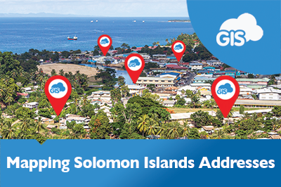
Addressing the Solomon Islands Postal Corporation Challenge
The Solomon Islands Postal Corporation is undertaking a large challenging project. They are embarking on mapping and developing a National Address database for the country. This is a large-scale geospatial project, even for a country of only 700,000 people. There are many challenges in developing such a system, but having the support...
Woodland Survey – Evolving Forests Use Case
Delighted for the opportunity to design and deliver a woodland survey focused on Dartmoor commons, our client Evolving Forests joined the ‘Healthy Trees for Tomorrow’ project. A joint venture with Dartmoor National Park Authority, Foundation for Common Land, and the Lottery Heritage Fund, realized by volunteers. Dartmoor on their doorstep and in their...
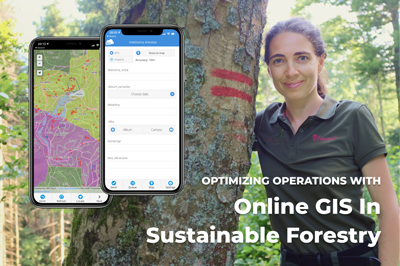
Optimizing Operations with Online GIS in Sustainable Forestry (case study)
Gozdno gospodarstvo Les from Ljubljana, Slovenia manages over 2000 ha of the estate consisting of forests. It is largely owned privately with few exceptions of company-owned forests. Using online GIS, they have complete IT support for their core business – planning, marking the trees to be felled, harvesting and selling the round wood. In...
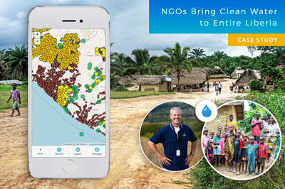
Mapping Entire Liberia To Bring Clean Water to Everyone – GIS for NGOs (Case Study)
Water is one of the Earth’s most valuable resources. Some of us take drinking water for granted, while millions of people across the globe can’t even imagine having everyday access to clean water. This is a success story about a project in Liberia that began in 2015, where nonprofits joined forces to map the...
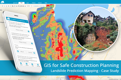
Landslide Prediction Mapping for Safe Housing and Construction Planning Using GIS
Landslides in the Kivu region (DRC, Africa) caused significant socio-economic destruction and have highly impacted the population. BEGE-RDC, a nonprofit organization, integrated its desktop and online workflow and created a heatmap with GIS Cloud apps that would emphasize the hotspots of the landslides and help predict development risks of this region. How can mapping...
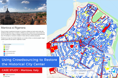
Using Crowdsourcing to Restore the Historical City Center of Mantova, Italy (Case Study)
The historical city center in Mantova, Italy, has been deteriorating for some time now. The buildings are not being properly maintained, and some of them are abandoned, despite the fact they are a cultural heritage recognized by UNESCO. But the Municipality of Mantova is trying to fix things with an urban regeneration project, a coordinated...
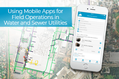
Using Mobile Apps for Field Operations in Water and Sewer Utilities (Case Study, Australia)
This case study shows how a utility company, Smith Brothers Group, improved the efficiency of inspecting asset conditions and field data collection by 30% with the GIS Cloud mobile apps for water utilities. The Smith Brothers Group operates in Australia and works on various water and sewer utility projects for local government units. They...
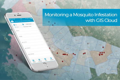
Monitoring a Mosquito Infestation with GIS Cloud (Case Study)
The Invasive Species Center is trying to mitigate the mosquito infestation plaguing the Istrian peninsula. They are trying to keep the infestation from spreading and stop any new mosquito species from entering the ecosystem. To coordinate the vast amount of fieldwork and to monitor the mosquito sources, they utilized the GIS Cloud platform. Read...
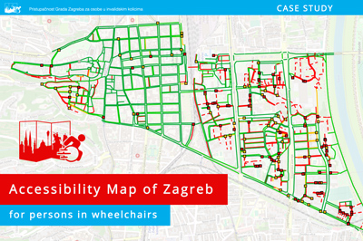
Accessibility Map of Zagreb for Persons in Wheelchairs (Collecting Lines Case Study)
The main project goal was to create a map that shows sidewalk accessibility and wheelchair obstacles in the center of Zagreb to help people with disabilities. The case study also shows how mobile apps helped the Department of Geography to transform a paper-based field workflow into a digital one. People in wheelchairs face...
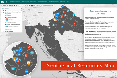
Mapping the Geothermal Resources of Croatia
Geothermal energy is getting traction as a renewable energy source and an alternative to solar and wind farms. To better understand the geothermal potential of a country and to raise awareness, it’s best to present the geothermal resources data with interactive maps. That’s why Lea Petohleb, a graduate geologist from the University of Zagreb,...
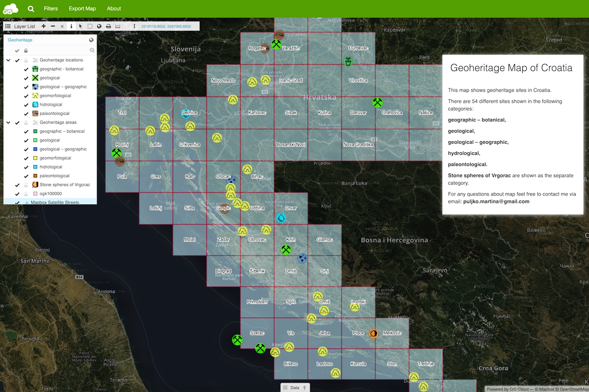
Raising Awareness About Geoheritage With a GIS Portal
To better understand how the planet Earth has formed and how life on it evolved, it is necessary to take a look at the evidence we have about those processes. The rock records are the evidence. To understand and study those records, it is necessary to raise public awareness to keep the rock records...

GIS for Electric Utilities
GIS software has been empowering the electric utility industry for decades. It provides a robust framework for asset and workforce management as well as tools for planning and analysis. Today, the landscape is filled with desktop solutions like those from ESRI, open-source software like QGIS, but also a host of online GIS solutions. ...
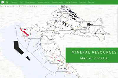
Mineral Resources Map of Croatia
Every country wants to make use of its mineral resources in the best way possible – economically, but also environmentally. It is necessary to monitor permits for exploitation, represent potential exploitation fields for new investors and easily keep track of every mineral resource. Their smart management is, therefore, highly important. That’s why Domagoj...
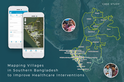
Mapping Villages in Southern Bangladesh to Improve Healthcare Interventions
The project is a part of a larger initiative that tries to tackle the spread of disease caused by extreme air, water, and soil pollution in Bangladesh. The initiative plans to establish a disease surveillance system and conduct a spatial analysis to determine high-risk areas. This is a pilot project and covers the first...
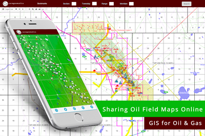
GIS for Oil & Gas industry: Sharing Oil Field Maps Online (Case Study)
We bring you a case study from the oil and gas industry that demonstrates the benefits of GIS for sharing mapping data with clients. Following a short inquiry with CORE Geomatics, we can see how the requirements in the Oil & Gas industry are met with the GIS Cloud solution. CORE Geomatics is...
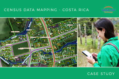
Collecting all property data in Zarcero Canton in less than 2 months (Case Study from Costa Rica)
The crew from Global Code Technology successfully finished the field data collection of infrastructure, land use and property in less than two months. It was a project for the Zarcero Canton that needed to get their housing census database in order. The housing census enabled the canton to plan infrastructure projects more efficiently, like...
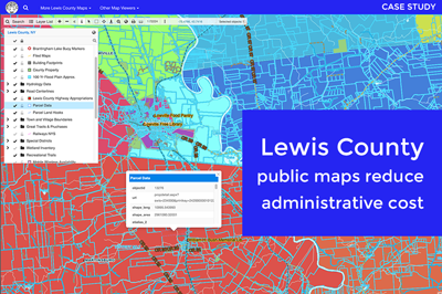
Cutting Administrative Costs With Online Maps for Lewis County (Case Study)
Lewis County is a small community located in the State of New York. Its county officials wanted to create an online mapping system so that the public and businesses get easy access to public data (cadastre, tax maps, utilities, zoning, etc.). The idea was to implement an online solution that would be both affordable...
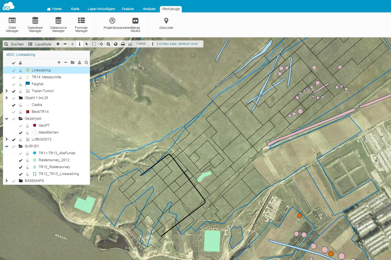
GIS in Archaeology: Mapping Roman and Byzantine Ruins (Case Study)
Over the last ten years, using GIS in archaeology has become one of the essential practices. For archaeologists, GIS has changed not only the data collection and visualization but also the perception of space itself. It’s been said that the combination of GIS technologies and archaeology is something like a perfect match – acknowledging that...
Malaria Risk Map: Using GIS to Combat Malaria Disease in Nigeria
The case study is based on the project “Geospatial modeling of malaria risk areas and vulnerability (severity) using environmental, climatic and socio-economic factors” and it’s an example of using GIS technology as a tool to combat the malaria disease. The project was created by Ayodele Adeyemo, a geogeek looking for ways to leverage...
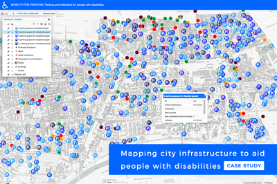
Mapping handicap parking and other assets to improve the mobility of people with disabilities (Case Study)
A group of enthusiastic and engaged geography students wanted to recognize and enable people with disabilities in the City of Zagreb. To achieve this goal, they devised a project ‘Mobility for everyone’, focused on mapping the city infrastructure that helps people with disabilities, resulting in a publicly accessible map portal. Students Lucija Dreven,...
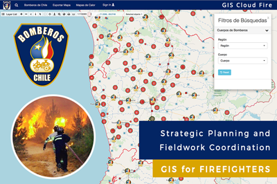
Firefighters of Chile Used a Dynamic GIS Solution for Strategic Planning and Fieldwork Coordination (Case Study)
Firefighters of Chile are an admirable organization, always investing in education and technology to provide the best possible service to their community. In 2017 they faced massive fires across the country, in many distant locations at the same time. To coordinate teams and respond as quickly as possible, they decided to implement a GIS...
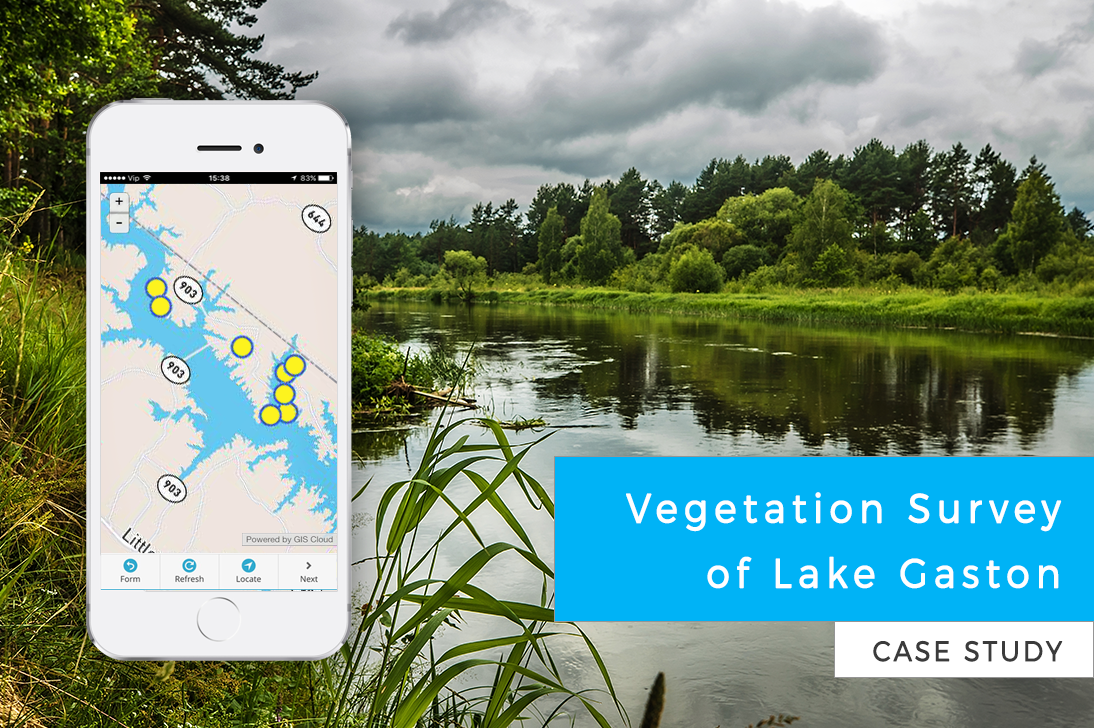
Vegetation Survey of Lake Gaston (Case Study)
Citizens of Lake Gaston wanted to take care of the lake ecosystem. The invasive plant species were spreading out of control, so a vegetation survey was required to determine the best way to fight the invasive flora. This case study is a great example of volunteers working on vegetation management for an entire...
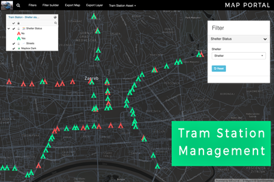
Tram Station Asset Management in the City of Zagreb (Use Case)
When waiting at the tram station, it can be bothersome if you don’t know when the next tram comes. Some tram stations in Zagreb, Croatia have a digital display showing information about arriving trams (their line number, direction and the estimated time of arrival). Geography student Matija Ostović decided to explore which tram...
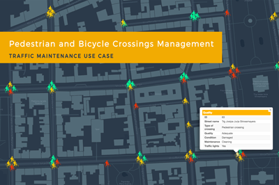
Traffic Maintenance Using GIS Cloud: Pedestrian and Bicycle Crossings Management (Use Case)
If you are a company in charge of maintaining traffic signalization, taking care of utility management or simply leading a field data collection project, online GIS solution can be of great help for your workflow. Learn how to assign your fieldworkers permissions to collect and update data about asset condition, to efficiently maintain...
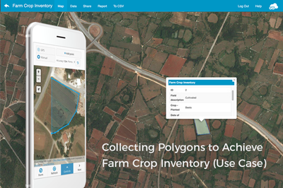
Improving Crop Inventory And Crop Scouting With GIS Cloud Apps (Use Case)
In many parts of the world, farmers are still struggling to improve farming techniques and ensure profitable and efficient crop production. Environmental problems such as pests and diseases, cause significant losses to farmers but are avoidable if using GIS solutions that include crop scouting apps and an easy tool for managing the crop inventory. ...

Mapping and Planning of Electricity Distribution Network (Use Case)
The electricity distribution system is one of the main parts of electric power systems. It’s important to transform existing systems and utilize the latest technologies to overcome issues such as power theft or poor distribution of power supply. Learn how the new line collecting feature in GIS Cloud can be of help in electricity distribution...
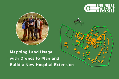
Mapping Land Use With Drones To Help Build A Hospital In Tanzania (Case Study)
One of the largest hospitals in Tanzania needed a land use map to help them build a new hospital extension. To improve medical care in this area and speed up the development of the community, an NGO provided engineers to plan the extension and the drone survey. Yet, their hands were tied on account of...
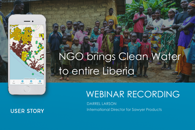
Webinar Recording: Mapping Entire Liberia to Bring Clean Water to Every Single Person – NGO User Story
If you are leading large data collection and inspection projects, and organizing teams in the field, this webinar recording is a must see! Darrel Larson, International Director of Sawyer Products water filter company and co-organizer of this fantastic data collection project, explains all the steps in the process of delivering water filters and tracking...
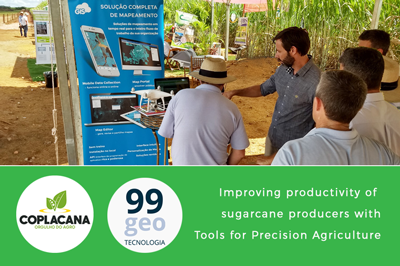
Maintenance of Sugarcane plantations in Agriculture with Copla-GIS mapping solution (Brazil)
Coplacana, one of the largest cooperatives of sugarcane and ethanol producers in the world, and 99GEO (GIS Cloud representative in Brazil) started a Copla-GIS project at the 2018 Copla Campo event in the Piracicaba City of São Paulo. The result of their partnership is a specific GIS technology, a solution that aims to improve the...
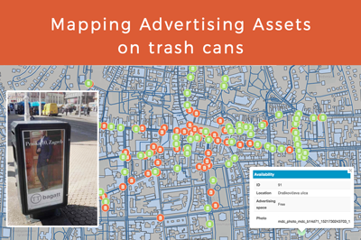
Mapping Advertising Assets on Trash Cans (Use Case)
Every organization, no matter public or private, should aim to build a precise inventory of all its assets, which includes location, condition, and a photo. Information is all around us and collecting that information is a big challenge, which can be easily overcome by using the right tools. Read a use case about the mapping...
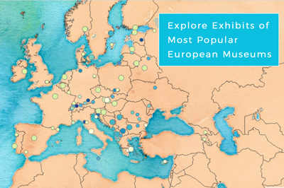
Mapping The Most Popular Exhibits In Museums Across Europe (Use Case)
Museums are central institutions for culture, education, and tourism, preserving history and art for generations to come. Interactive online maps can help people discover and navigate to the closest cultural attraction in the area. Scroll down and try an interactive map of 140 most visited museums across Europe, including their famous exhibits. According to...
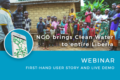
Live User Story: NGO Maps Out Entire Liberia and Brings Clean Water to Every Single Person (Webinar)
Join our next webinar, a live user story about an amazing data collection and management project realized in Liberia, Africa, with the initiative and organization of our webinar host Darrel Larson, International director for Sawyer products and founder of the Give Clean Water non-profit organization. Register below for April 12th. Learn how nonprofits joined forces...
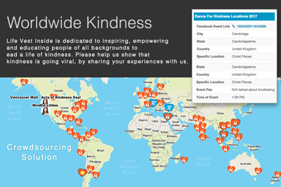
Mapping World Kindness with GIS Cloud Crowdsourcing Solution
Life Vest Inside, one of the winners of the GIS Day Contest 2016, used GIS Cloud Crowdsourcing solution to engage people in pledging acts of kindness worldwide Our Crowdsourcing solution, which allows people to send data on a map in real-time, is used by nonprofit organizations for various purposes. Engaging the community and increasing...
Collecting Field Data For A Water Distribution System In California
Lack of affordable housing is a growing problem in California. Combined with the severe droughts that have afflicted the state in the last few years, this problem only grows worse for the residents in areas such as Tulare County. To alleviate this problem, organizations such as Self-Help Enterprises (SHE) are continually working together with low-income...
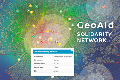
GeoAid: Mapping Humanitarian Solidarity Network in Athens (Case Study)
For the last 8 years, Greece has been experiencing a deep recession that has brought immeasurable consequences to the country’s economy. Searching for ways to cope with the pressures local communities were facing, experts from the National Technical University of Athenns, Dr. Labropoulos and Ms. Andrianesi, worked on the GeoAid project, one of the winning...
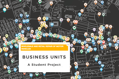
Map of Business Structure and Activity in City Districts of Zagreb
This is a case study about mapping business units in the city district of Dubrava in the City of Zagreb. The project was made by a Geography student, Stipica Šarčević, who also wrote this blog report. He explained the process of data collection, visualization, and publishing, done by using GIS Cloud apps. Over the...
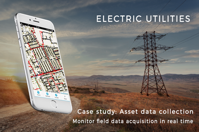
Fighting electricity theft in Nigeria with GIS technology (Case Study)
Electric utility companies across Nigeria struggle with electricity theft. The illegal connections to the power grid generate huge losses and are a hazard for locals. GIS technology can help mitigate the problem by enabling real-time insights and proper electric network visualization. Learn how Enugu Electricity Distribution Company utilized GIS technology to tackle electricity...
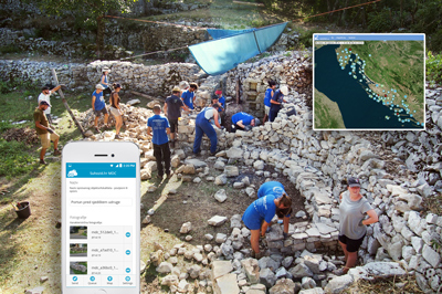
Restoring Mediterranean Dry Stone and Educating Public About Its Heritage Through Interactive Maps (Case Study)
We had the pleasure to work with 4 GRADA DRAGODID, an NGO working on restoring and preserving the dry stone in Croatia. We got to know them during the GIS Day Contest 2016 where they won the special award, GIS Cloud solution for field data collection, map editing and a public map portal. GIS...
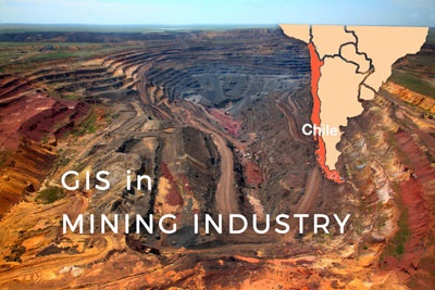
Supporting Small and Medium-Sized Mining in Chile Through Interactive Maps
The mining industry in Chile produces more than one-third of government income by exporting Copper. Other important mining products include gold, silver, molybdenum, iron, and coal, while most of the mining products are located in the Atacama Region. At this mining region small and medium-sized mining operations make a significant part of the mining...
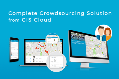
Engaging Citizens with the GIS Cloud Crowdsourcing App
Every organization needs to gather and manage data, especially location-based data which can be represented visually on a map. Crowdsourcing apps are used to collect data from a large number of users using a single app on their mobile devices. Administrators control the information and decide whether it will be accepted and visible publicly, in a crowdsourced...
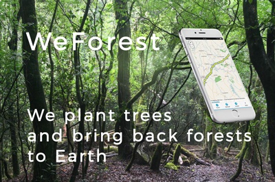
WeForest – Improving the Forest Restoration Process in Zambia with GIS Cloud
In the Copperbelt, Zambia’s most densely populated region, forests have been disappearing rapidly. The WeForest team, who strives to restore forests, has identified that making the indigenous forest economically viable was a major problem in one of the districts, Luanshya. We talked to Matthias De Beenhouwer, a project manager at WeForest who is...
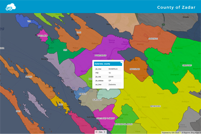
GIS Cloud Visualization in Planning of the New Administrative Boundaries for the Zadar County
This project was done by a geography student Branimir Bilandžić, who collected and visualized data with a goal to make a proposal on the topic how to rationalize local government structure in Croatia. As a result, map portal was created, showing a proposal for the new municipality structure. This project was done using the example...
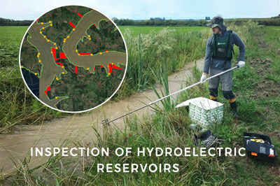
Case Study: Using GIS Cloud for Efficient Inspection of Hydroelectric Reservoirs in Brazil
This use case features Socioambiental Consultores Associados, a company located in Florianópolis, Brazil. They use GIS Cloud for inspecting and overseeing the Permanent Protection Areas of the Hydroelectric Power Plants reservoirs located on the Uruguay River. The reservoir inspection project The Socioambiental Consultores Associados provide solutions for planning, utilizing and protecting natural resources...
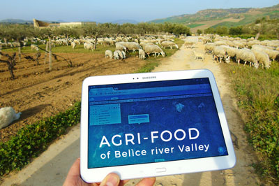
Mapping the Italian Heritage – A Story about GIS Cloud Implementation for the Proditerr@ Project
Maria Laura Scaduto and Andrea de Tommasi told us about how they set up the Proditerr@ project, dedicated to creating a cooperative web platform for promoting the typical local food products of the Belìce river Valley in the Western part of the Sicily. The “Proditerr@ Project – Products, Identity and Territory” started in September...
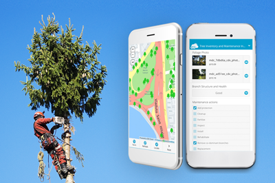
Improving Tree Inspections With Mobile Apps for Arborists (Case Study)
Taking care of several trees differs from more extensive projects, which include carrying out a tree inventory, tree inspection and subsequent tree care plans. Managing the care of individual plants and trees on a larger scale demands a lot of administration and field paperwork. This case study outlines tools and workflows, as well as...
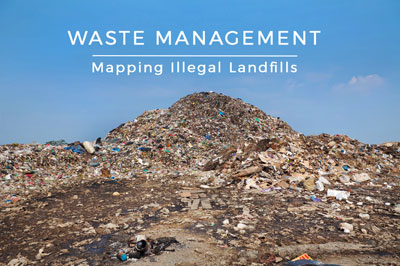
Mapping Illegal Landfills in the City of Zagreb (Use Case)
This use case describes the project done by a GIS student Morana Labović, who collected data on the illegal landfills in Zagreb to create an interactive map for raising citizen environmental awareness. Due to the increasing quantity and its harmful effects on the environment, waste is one of the most significant environmental problems of...

Combating Homelessness with GIS In St. Louis
The City of St. Louis Point-in-Time committee collects data about the homeless population as a part of the Point-in-Time Count project. They survey the entire city to establish a continuity of care for people experiencing homelessness. The field survey is a great deal of work so the committee wanted to improve day to day field...

Monitoring Rainfall In Orange County, California with GIS Cloud (Case Study)
Rainfall and watersheds monitoring can be quite demanding. It includes various tasks and challenges, from having updated information on the amounts of water at any given time, to organizing teams acquiring the data and integrating new online GIS solutions with existing desktop GIS tools. Read a case study on how Orange County transformed...
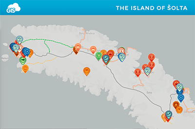
Using GIS in Tourism – Tourist Map of Solta
We bring you a case study about creating a Tourist Map of the Island Šolta, a project done by a Geography student Ana M., who is also the author of this article. Over the last few decades, tourism as an industry has become one of the fastest growing economic sectors in the world, according to...
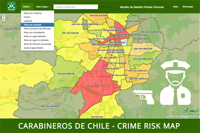
Crime Risk Map – Carabineros de Chile (Case Study)
Police departments around the world are increasingly using online GIS for a variety of tasks, including emergency response, analyzing and predicting crime rates, tactical planning and daily coordination, to name a few. Read about Police of Chile (Carabineros de Chile) who choose GIS Cloud to create crime risk maps with real-time information. Police departments...

MetaSUB Use Case: Building Healthier and Smarter Cities with the Help of GIS
One of the cloud-based GIS applications in creating a smart city and a more responsive and sustainable environment is in public health. Increasing urbanization and a significant growth of international transport of people and goods creates unique challenges for the disease control and prevention in urban areas. These challenges are not new, nor are the...
Discover the world of Geo-Marketing: FiDA & Co. Studios
Geo-marketing is one of those cloud/web mapping applications utilized by businesses all across the digital sphere, usually by marketing managers and staff in organizations of all sizes and profiles. If you are doing anything marketing related, you know that knowing a perfect location for placing a billboard, pitching your tent or opening a new shop or...

GIS for Water Utilities: Efficiently Mapping Water and Sanitary Infrastructure
Online GIS is of great value in terms of planning, managing, and maintenance of utility infrastructures such as water resources and services. Efficient and smart use of high-quality spatial data becomes imperative in a competitive economy for many electrical, gas and water utilities. Locating facilities, tracking jobs, planning operations in utilities relies on having...

Cloud GIS is a Key to Efficiency in Data Sharing and Collaboration
One of the greatest advantages of cloud based GIS solution is its unmatched data sharing and collaboration potential for a wide variety of businesses, especially data and service providers. When it comes to industries such as oil and gas, where maps are usually rich with land, infrastructure, wells and distribution data, cloud GIS solution is...

Paving Company Efficiently Managing Operations Using Online GIS in Construction Industry
“In operations, we’re always looking for ways to take a process and make it better and faster. For me, GIS has helped to speed up the job tracking process that would normally require massive amounts of paperwork and organization.” Geospatial intelligence plays an important role in construction industry. In the words of Brad Rouse, the...

Fighting The Snow With A Fleet Management Solution in the Cloud (Case Study)
For city winter services, speed and efficiency are crucial when snow plowing an entire city. A more advanced planning system is necessary so the fleet management solution for managing snow plow trucks is a requirement! We bring you an example of how to make city snow plowing more efficient with simple online GIS-based software,...

Risk Management in Agriculture (Use Case)
Combining Remote Sensing & Online GIS Technology is the Future of Risk Management in Agribusiness According to FAO, the growth rates of global agricultural production and crop yields have slowed in the last couple of years, raising fears that the world may not be able to grow enough food and other commodities to...
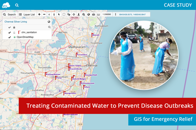
Using GIS to strategically treat contaminated water and prevent disease outbreaks (Chennai, India)
In 2015 the Chennai district in India experienced severe flooding. To quickly eliminate the threat of disease outbreaks from contaminated water across the district, volunteers decided to use online GIS and strategically apply a sanitation agent.We talked to one of the volunteers included in the Chennai Silver Lining – A Sanitation Drive project. Read a...
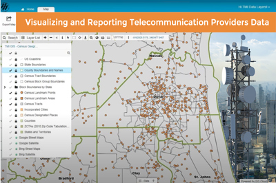
Visualizing Customer and Census Data for Telecommunication Providers (Consulting Case Study)
GIS Cloud lets us offer our clients a new and exciting visualization tool to better understand the data they report. Technologies Management Inc. Technologies Management, Inc. (TMI), a leading provider of Form 477 support services for telecommunication US clients nationwide, offers a service that displays the 477 results – text files with information...
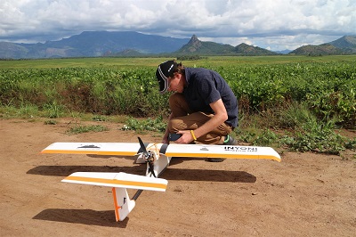
Sharing the 3D Drone Mapping Imagery With Clients: A Report from South Africa
Drone technology has revolutionized the contemporary mapping landscape. It reinforced the use of evolving 3D mapping photogrammetry technologies, but also brought some new challenges to master. Luke Wijnberg from 3DroneMapping sums up the key changes drone technology brought to aerial mapping concluding that costs of the projects are now 20 times cheaper, with the...

Engaging The Citizens In District Heating Management (Case Study)
The City of Cluj and other parts of Romania face severe challenges because, in the last decade, more than 50,000 apartments have disconnected from the district heating system and switched to micro-heating units. That’s why Mihai Iepure from the Faculty of Geography at the University of Cluj-Napoca wanted to modernise the district heating network...
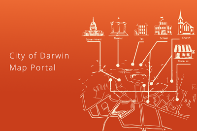
Exploring the City of Darwin Map Portal
Geographic information system tools increased popularity in local government projects toward its citizens demonstrates this premise, and City of Darwin took advantage of this insight creating an admirable City Portal for its residents.
City of Darwin map portal, powered by GIS Cloud, was conceived as a web map on which City of Darwin citizens could find the information on city infrastructure and facilities.

Environmental Consulting Case Study: Watching Over Natural Hazards with the help of GIS
A lot of environmental issues are regularly addressed and solved by environmental consulting companies. Their scope of influence spreads within the range of environmental management, assessment, dealing with environmental crisis and strategic planning for both governments and commercial clients. Air, land and water contamination and assessment are in their area of expertise, and this is...
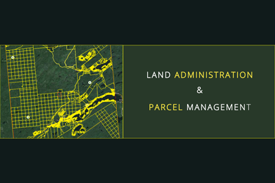
Land Administration And Parcel Management in the State of New York (Case Study)
Data visualization makes our lives easy and simple. It is not a new thing, but the way we do it improves and upgrades daily. Just recently we were still drawing maps, filling forms manually and collecting GPS locations as a single point, with no media associated. With the boom of free data that...
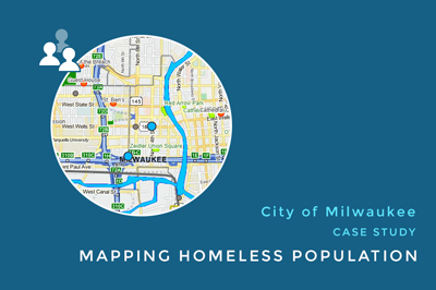
Using Maps to Identify Homeless Population in Milwaukee (Case Study)
Over 100 million people around the world have no shelter whatsoever. With the turbulence in the global economy, homelessness is becoming an increasing problem all over the world. The growing rate of the homeless population especially concerns American society. One of the ways to begin resolving this problem is to create a specifically designed...
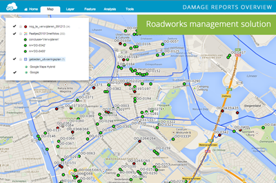
Roadworks Solution: Damage and Maintenance Reports for the City of Amsterdam
The city of Amsterdam is the capital and most populous city in the Netherlands. It is considered to be an alpha world city by the Globalization and World Cities (GaWC) study group. With ranking 3rd in innovation by 2thinknow in the Innovation Cities Index in 2009, search for cloud computing solutions took its momentum in...
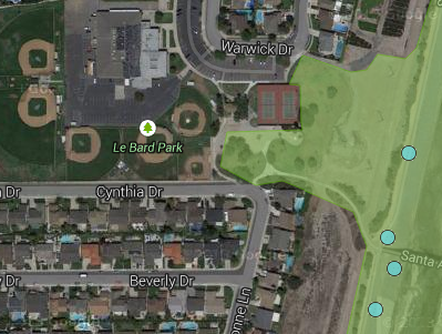
Volunteer Watershed Cleanup Events: Orange County CA Case Study
Orange County California is comprised of eleven watersheds which drain to 42 miles of sparkling blue coastline and sensitive wetlands such as Upper Newport Bay and Bolsa Chica. There is a lot of interest in protecting and preserving the health of these resources and volunteer cleanup events have become an important part of this effort....
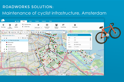
Traffic Management Solution: City of Amsterdam Case Study
The City of Amsterdam is one of the most bicycle-friendly large cities in the world and is a center of bicycle culture with a good cyclist infrastructure. Therefore there is a pressing need for a quality maintenance of bike lanes, racks, poles and different types of bike infrastructure on regular basis. Learn how they...
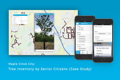
Mapping the Emerald Ash Borer infestation in Maple grove (Case Study)
The City of Maple Grove had a serious problem with an Emerald Ash Borer infestation. The first project the City undertook was to measure the condition of the public trees to identify the pest threat that has been severely affecting the trees in that area. Before the city could start the emerald ash borer...
Products
How it Works
Mobile Data Collection
Map Editor
Map Viewer
Map Portal
Crowdsourcing
Publisher for QGIS
Publisher for ArcMap
Geocoder
Terms of use & Privacy policy © GIS Cloud Ltd


