Give us some information about your work and get a personalized demo.
Oops! Something went wrong while submitting the form.

Vegetation Management
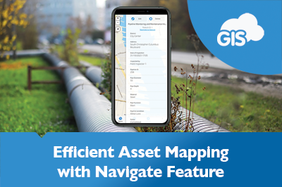
Navigate To Feature: Map Your Way To Your Assets
GIS mobile applications allow you to map your water assets. Map mobile applications provide you with directions on the go with improving reliability. GIS Cloud has combined these features under one awesome Mobile Data Collection application. The Navigate To Asset Feature saves travel time, especially during scheduled maintenance and routine inspections. ...

Using GIS for Vegetation Management in Electric Utility
Managing vegetation around power lines is a significant challenge for electric utilities worldwide. Overgrown vegetation can cause power outages, fires and even endanger public safety. Traditional vegetation management methods, such as pen and paper inspections, are often time-consuming and costly. However, GIS technology can help electric utilities efficiently manage vegetation, allowing for a...
Woodland Survey – Evolving Forests Use Case
Delighted for the opportunity to design and deliver a woodland survey focused on Dartmoor commons, our client Evolving Forests joined the ‘Healthy Trees for Tomorrow’ project. A joint venture with Dartmoor National Park Authority, Foundation for Common Land, and the Lottery Heritage Fund, realized by volunteers. Dartmoor on their doorstep and in their...
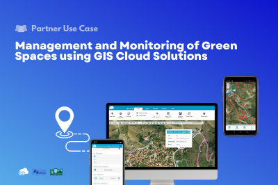
Management and Monitoring of Green Spaces using GIS Cloud Solutions | Nestorio, Greece
Our partner NubiGroup from Greece, helped the Nestorio Municipality, a small mountainous Municipality in Northern Greece, acknowledge the benefits of new technologies and implemented GIS Cloud solutions into its workflow to monitor and manage the municipal green spaces. NubiGroup is our partner and a company that creates a new generation of geo-services, research, and products by exploiting geospatial information...
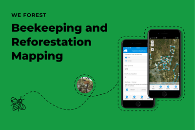
Beekeeping and Reforestation in Response to Climate Change – WeForest (Case Study)
In response to climate change, WeForest promotes forest landscape and ecosystem restoration in their projects. As a part of the Katanino Forest Restoration Project, they provided an alternative source of income from forest-friendly activities such as beekeeping and tree nurseries! With the help of GIS Cloud, they mapped the beekeeping areas and...
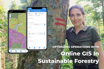
Optimizing Operations with Online GIS in Sustainable Forestry (case study)
Gozdno gospodarstvo Les from Ljubljana, Slovenia manages over 2000 ha of the estate consisting of forests. It is largely owned privately with few exceptions of company-owned forests. Using online GIS, they have complete IT support for their core business – planning, marking the trees to be felled, harvesting and selling the round wood. In...
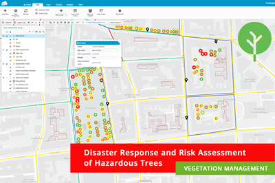
Disaster Response and Risk Assessment in Vegetation Management – Use Case
Recently we held an exciting webinar on Online Solution for Vegetation Management! We touched upon some critical pain points of everyday vegetation management workflows and had an interesting poll where we found out that some companies still use paper forms or don’t collect their data in any way yet! GIS Cloud...
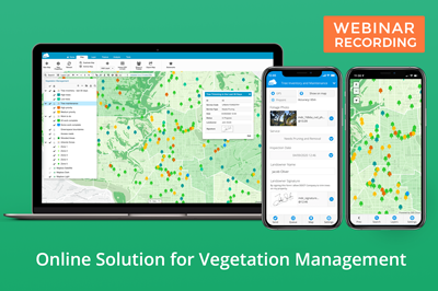
Webinar Recording – GIS Cloud Solution for Vegetation Management
Dear Vegetation Management Specialists, we are happy to announce that the recording of our highly anticipated webinar on Online Solution for Vegetation Management is here! In this webinar, our Growth Department team touched upon some of the critical pain points in everyday vegetation management workflow like: Work scheduling, prioritization and coordination Tree maintenance, disease and...
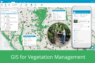
GIS For Vegetation Management
Every year vegetation management companies inspect vast amounts of areas where trees and different types of vegetation require care and trimming to avoid potential utility threats and other hazards, like fires or invasive species. In some regions of the world, there are strict laws and guidelines that require vegetation maintenance to comply with...
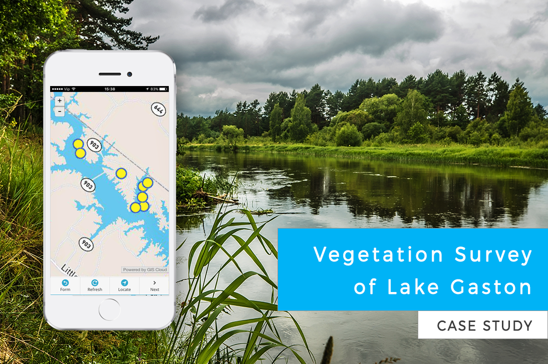
Vegetation Survey of Lake Gaston (Case Study)
Citizens of Lake Gaston wanted to take care of the lake ecosystem. The invasive plant species were spreading out of control, so a vegetation survey was required to determine the best way to fight the invasive flora. This case study is a great example of volunteers working on vegetation management for an entire...
Improving Crop Inventory And Crop Scouting With GIS Cloud Apps (Use Case)
In many parts of the world, farmers are still struggling to improve farming techniques and ensure profitable and efficient crop production. Environmental problems such as pests and diseases, cause significant losses to farmers but are avoidable if using GIS solutions that include crop scouting apps and an easy tool for managing the crop inventory. ...
How To Use The Mobile Data Collection App For Soil Sampling in Agriculture
The Mobile Data Collection app replaces messy field paperwork with easy-to-use mobile forms. After you fill the form at a sampling location, the data immediately appears in Map Editor, where you can edit and analyze the data. In the past, farmers would spread the fertilizer evenly across the entire field. But with geospatial...
WeForest – Improving the Forest Restoration Process in Zambia with GIS Cloud
In the Copperbelt, Zambia’s most densely populated region, forests have been disappearing rapidly. The WeForest team, who strives to restore forests, has identified that making the indigenous forest economically viable was a major problem in one of the districts, Luanshya. We talked to Matthias De Beenhouwer, a project manager at WeForest who is...
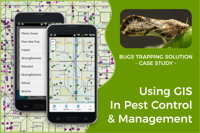
Using GIS In Pest Control And Management – Tulare County CA (Case Study)
Online GIS is becoming an essential platform for pest control and management worldwide. Collecting data, creating maps, and conducting geospatial analysis on a large scale helps prevent the spread of pest disease. It is used to interpret and analyze patterns to understand spatial interaction between pests, soil, and vegetation affected by...
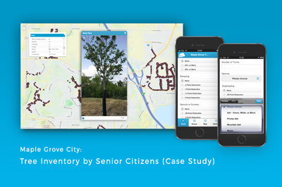
Mapping the Emerald Ash Borer infestation in Maple grove (Case Study)
The City of Maple Grove had a serious problem with an Emerald Ash Borer infestation. The first project the City undertook was to measure the condition of the public trees to identify the pest threat that has been severely affecting the trees in that area. Before the city could start the emerald ash borer...
Products
How it Works
Mobile Data Collection
Map Editor
Map Viewer
Map Portal
Crowdsourcing
Publisher for QGIS
Publisher for ArcMap
Geocoder
Terms of use & Privacy policy © GIS Cloud Ltd


