Give us some information about your work and get a personalized demo.
Oops! Something went wrong while submitting the form.

Utilities - Other

Field to Office: Real-Time GIS for AEC Projects
You do not need another platform. You need one live map that everyone trusts. When field updates appear instantly for the office, and office decisions reach crews in minutes, projects move faster, site visits drop, and reviews stay on schedule. The pains AEC teams face today Most AEC teams still juggle point tools. Field...

Geospatial Technology for Building Smarter Cities
Smart cities aren’t built in one big project. They’re delivered day by day: a repaired pipe, a safer junction, a clearer public notice, a faster emergency response. Local authorities and their delivery partners need a GIS that helps work happen, without new complexity or surprise costs. That’s what GIS Cloud is designed to do....
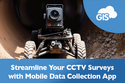
Transform CCTV Inspections with the Mobile Data Collection
The Mobile Data Collection application is your winning ticket. The app could be worth a million dollars to you and your organization. It is the key to a successful field operation. The application works on iOS and Android devices. Clients of ours, like Pipe View America, use the application. How many thousands...
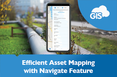
Navigate To Feature: Map Your Way To Your Assets
GIS mobile applications allow you to map your water assets. Map mobile applications provide you with directions on the go with improving reliability. GIS Cloud has combined these features under one awesome Mobile Data Collection application. The Navigate To Asset Feature saves travel time, especially during scheduled maintenance and routine inspections. ...
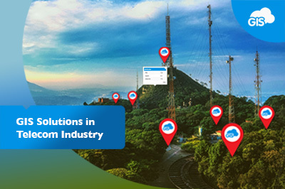
GIS Cloud Solutions in Telecom Industry
GIS, much like telecommunication, has come a long way. Telecommunications have developed from smoke signals to fiber optic lines and long-range wireless data connections. GIS has gone from hand-drawn maps to as-built plans to 3D models that are accurate to the hundredths of an inch. Bringing telecommunication networks into a GIS...

Improving Workflows in Telecom Industry – Sotetel (Use Case)
As the telecommunications industry is one of the fastest-growing GIS markets in the world, we want to showcase the benefits of implementing the GIS Cloud solutions to provide an effective tool for making data-driven decisions. Companies use GIS Cloud for multiple purposes, from managing field operations to performing spatial analysis, network planning, deployment,...
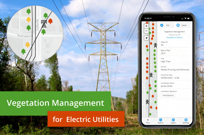
Vegetation Management For Electric Utilities
Managing vegetation is crucial for the utility industries, especially for the power and electricity sector. Negligence to maintain vegetation results in destructive wildfires, and dangers of tree falling hazards on utility infrastructure. This brings considerable expenses to the budget and economic loss for both power companies and end customers, not to mention liability issues...

Smart City Apps for Utilities
Smart city apps are an effective solution for getting data and feedback from your customers (citizens), contractors, or local governments. But, most of the smart city solutions are expensive and take ages to deploy. In this article, we’ll show you that’s not always the case. Keep reading and learn how to create a smart...
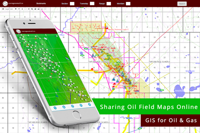
GIS for Oil & Gas industry: Sharing Oil Field Maps Online (Case Study)
We bring you a case study from the oil and gas industry that demonstrates the benefits of GIS for sharing mapping data with clients. Following a short inquiry with CORE Geomatics, we can see how the requirements in the Oil & Gas industry are met with the GIS Cloud solution. CORE Geomatics is...
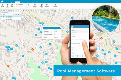
Pool Service Software for Maintenence Companies
Many pool maintenance companies are still tracking their daily jobs, workers in the field and data on pool equipment status on paper. We are providing an online pool service software which allows fieldworkers to fill out simple survey forms on their mobile phones about the daily tasks on each pool. Managers in the office...
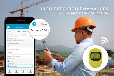
Achieve Higher Precision in the Mobile Data Collection App with External GPS Receivers
In industries like utilities and insurance, the project workflow demands both a solution with high precision capabilities as well as a solution for attribute data collection. To get rid of paper forms and keep the high-precision you can combine the Mobile Data Collection app with your high-precision GPS device. When performing field data collection,...
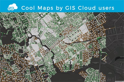
Cool maps by GIS Cloud Users
In GIS Cloud Map Editor, you can often stumble upon interesting public maps created by our users who utilize GIS Cloud apps for a wide variety of purposes. So, we made a selection of a few cool maps that caught our eye. There will be more interesting maps to come – don’t hesitate to drop...
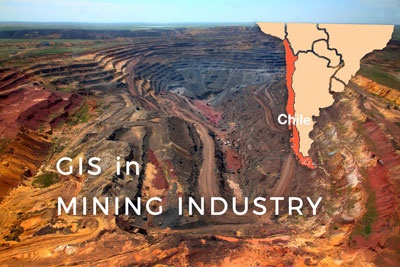
Supporting Small and Medium-Sized Mining in Chile Through Interactive Maps
The mining industry in Chile produces more than one-third of government income by exporting Copper. Other important mining products include gold, silver, molybdenum, iron, and coal, while most of the mining products are located in the Atacama Region. At this mining region small and medium-sized mining operations make a significant part of the mining...
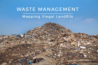
Mapping Illegal Landfills in the City of Zagreb (Use Case)
This use case describes the project done by a GIS student Morana Labović, who collected data on the illegal landfills in Zagreb to create an interactive map for raising citizen environmental awareness. Due to the increasing quantity and its harmful effects on the environment, waste is one of the most significant environmental problems of...
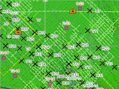
Oil and Gas Case Study: Providing Client Mapping Data Online
With the upcoming webinar, where we will show you some of the GIS Cloud user success stories, we wanted to present you a Consulting success story from the Oil and Gas industry. We did a short interview with CORE Geomatics, asking them to describe what their projects are about and how has GIS Cloud helped...
Products
How it Works
Mobile Data Collection
Map Editor
Map Viewer
Map Portal
Crowdsourcing
Publisher for QGIS
Publisher for ArcMap
Geocoder
Terms of use & Privacy policy © GIS Cloud Ltd


