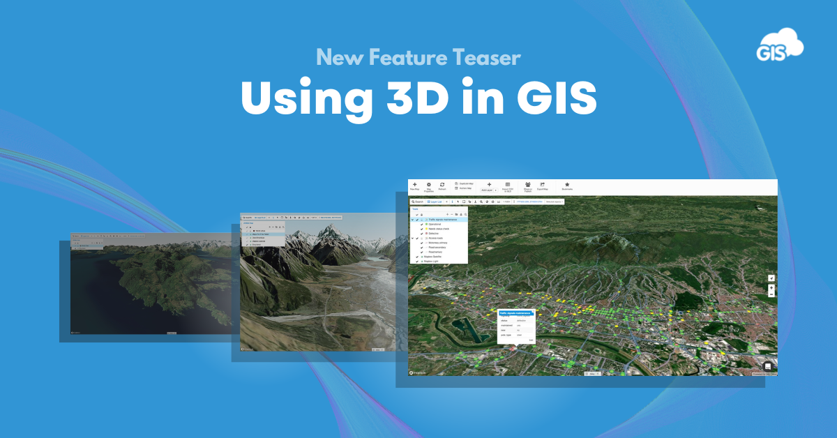
Most GIS users, whether an expert or a novice, are familiar with maps and data based on two dimensions. You have your coordinates – your longitude and your latitude- the basis for your points, lines, polygons, and raster data. However, mapping the world in two dimensions doesn’t always give you the complete picture, and adding the third dimension (3D) provides a better insight into the world around you.
In most cases, the third dimension represents the elevation data, but it can also illustrate concepts such as population density, building heights, the concentration of resources, plot suitability, price, and much more.
While 3D is a visually impactful tool, its power lies in combining the 3D model with other vector and raster datasets such as infrastructure asset locations (roads, utilities), vegetation around utility lines, waterways, land use data, vegetation, etc. This provides an additional layer of information and helps put the location into the right context, which is why it’s often used in a wide range of industries and use cases.
For example, having a geographical context is essential in transportation and urban planning in general. When building roads or planning an infrastructure network (electrical, gas, sewage, communication), it’s essential to recognize the different factors that might affect the development. Building in hilly areas is not the same as building in low flatlands, as it can not only impact the suitability but also significantly influence building and maintenance costs.
In agriculture, a 3D model can provide important information about the slope of the location and its aspect, which influences which crops can be grown.
In energy, understanding the terrain can assist in defining areas where solar or wind energy can provide a sustainable alternative to fossil fuels.
In disaster management, detailed maps that include the topography can help determine the best routes for evacuation or provide a way to understand the potential impact better.
Adding more meaning to 3D models with GIS Cloud
There are many solutions out there that enable you to view the data in 3D, but not all of them give you the option to dynamically add your own data on top of it, collaborate with in-office and field crews to enrich your 3D models, and share it with others in a real-time fashion.
These are all key steps for turning your existing data and solutions into better products that improve your daily workflows and raise your understanding of physical assets through a digital world.
In the end, we’re used to seeing things in 3D, so sharing your data in a way that enables a 3D view is a very intuitive method to communicate what’s going on in the field to users who don’t necessarily need to be GIS or tech experts.
So what’s new in GIS Cloud?
The great news is that 3D is soon coming to GIS Cloud! We’ve heard your feedback and are implementing a 3D view into our applications so that you can better understand your data and make more informed decisions. GIS Cloud 3D will enable you to use the predefined 3D model along with your data and any basemap you set. You’ll also be able to add your own Digital Elevation Model to provide more accurate data for your local area.
We can’t wait to hear what you think, so stay tuned for the upcoming release and our sneak peek webinar coming soon!
Give us some information about your work and get a personalized demo.
Oops! Something went wrong while submitting the form.

Using 3D in GIS
3 min read
Products
How it Works
Mobile Data Collection
Map Editor
Map Viewer
Map Portal
Crowdsourcing
Publisher for QGIS
Publisher for ArcMap
Geocoder
Terms of use & Privacy policy © GIS Cloud Ltd


