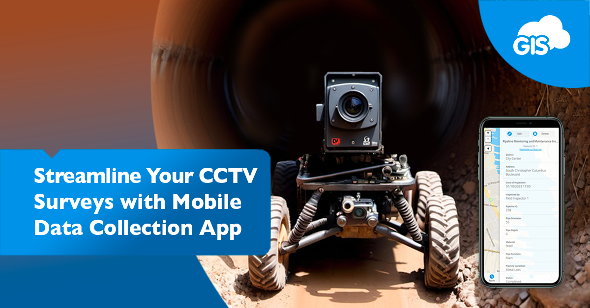
The Mobile Data Collection application is your winning ticket. The app could be worth a million dollars to you and your organization.
It is the key to a successful field operation. The application works on iOS and Android devices.
Clients of ours, like Pipe View America, use the application. How many thousands of miles of pipe do you think they have surveyed in their 18 year history?
We are offering you the same opportunity.
Whether you need to collect assets, whether you need to navigate to job sites, whether you want to create an efficient workflow to monitor your team’s progress and share it with stakeholders.
It’s all possible with the MDC app.
Sign up for our free 14 day trial and put the MDC app and our other premium tools to use today.
Mobile Data Collection CCTV Inspection Uses
Our many clients have used the MDC application in different ways during their annual inspections. The application has proven to increase efficiency and lower operating costs.
Our CCTV inspection clients use the application to:
- Map the locations where they have been
- Show evidence of work completed
- Connect footage to pipe segments
- Create future work orders
- Navigate to the correct site
- Document inspections with photos
The possibilities are only limited by your imagination. If you come up with a feature you want on the app, tell one of our Solution Consultants.
Work Completed Tracking
During large projects, tracking what work you have completed is important. You don’t want to revisit locations you have completed, go out of order, or simply miss work due to forgetting a job site.
After signing up for our free 14 day trial, you’ll be able to track your own inspection work in minutes.
In the MDC app, under the Water Utilities project template, you can mark the fields to show what portions of the pipelines have been inspected. If you haven’t imported or migrated your GIS data into the database manager, that’s not a problem.
You can easily create the features in the MDC app while out in the field.
The app also includes different base maps. You have the street labeled polygon option as well as a satellite imagery basemap.
In minutes, you can sign up and be tracking your work progress in the field.
Navigate to an Asset
Imagine you are in a different town doing a pipeline CCTV inspection. The starting point was easy to find, that’s where everyone agreed to meet up. You’re done with the first site. Where to now?
The next job begins at a manhole 3 miles away. What’s the best way to get there?
Easy.
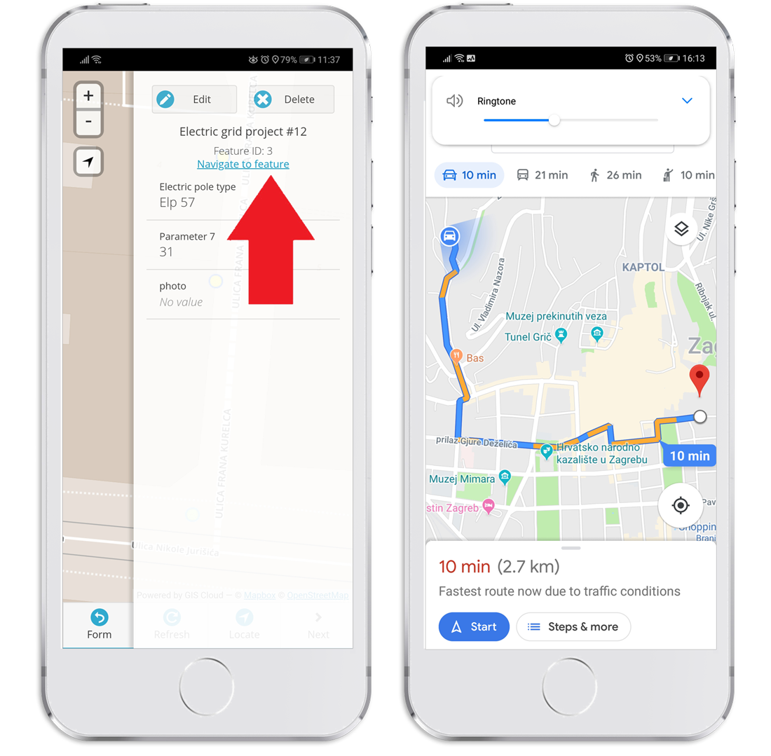
Open the MDC application, select the feature you need to reach, and select the Navigate to Feature option at the top of the screen.

Everyone on the team will know where to go and the fastest directions to get there. You can count on the directions to have the latest traffic information and road closures.
Sharing with Clients and Stakeholders
GIS Cloud has different options for presenting your work to your clients, management, and stakeholders. You can keep the data in a GIS Cloud environment or export it for external use.
You can organize and present all the crucial information in a customized dashboard. The dashboard can feature your logo and company details.
The dashboard can display different data. In one panel, you can show your clients how much work has been completed. Another can show the proposed schedule and which pipelines are next up for the CCTV inspection. Remember the data you tracked in the beginning, it is now being presented live within your dashboard.
That data can include any issues you discovered during an inspection. Photo attachments can show exactly what the situation is. Since the photo is attached to a data layer, like a point, line, or polygon, you will know the accurate location of the issue.
If you want to produce custom reports for external use, that’s an option as well.
Working with one of our talented Solution Consultants can help develop a custom report form that fits your unique needs. These forms can include:
- Date
- Time
- Inspector
- Location
- Equipment used
- Issues found
- Photos
- Notes
Anything you collect in the MDC app or add to the GIS Cloud Map Editor can be included in the report.
And, of course, it can include your company logo and letterhead.
Conclusion
Now it’s time to sign up for our free 14 day trial if you haven’t done so. In minutes you can be using these tools and features.
Our GIS Cloud Solution Consultants will be available to answer your questions on how to develop your own data schematic, or you can use one of our many data templates.
These are some of the ways clients like Pipe View America have been using the Mobile Data Collection application, Map Editor, and Map Viewer for years.
Sign up for the free trial and see how much money our set of tools and applications can save your organization.


