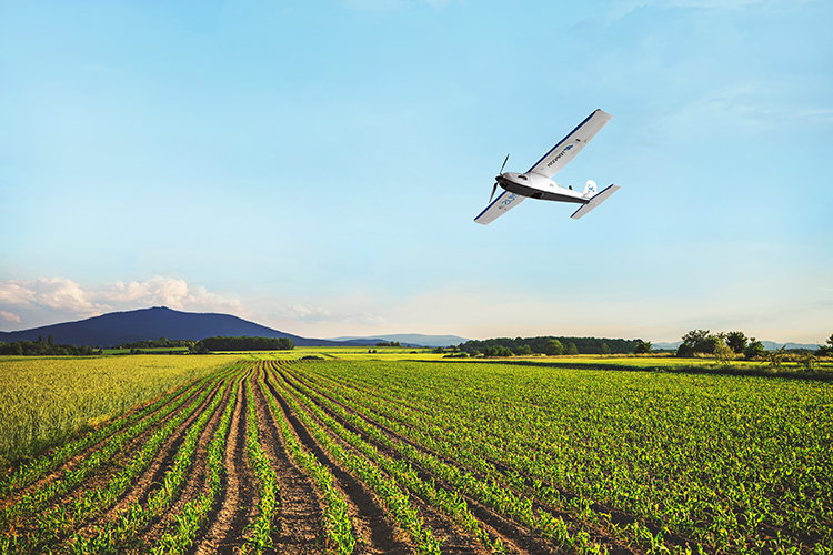
We have prepared a video presentation covering the topic of “Sharing Drone Data: Next Step – Collaboration” webinar, hosted on December 10th, 2015.
This video is a separate recording that was created after the original presentation.
Following topics were covered:
- Reasons for a rapid expansion of a drone market
- Using Drone Data – a regular mapping workflow overview
- GIS Cloud – Platform and benefits of a cloud environment
- The importance of Sharing and Collaboration for an efficient workflow
- Utilizing Drone Mapping and GIS Cloud in different industries
- GIS Cloud use cases: 3DroneMapping, Landfill Maintenance and Risk Management in Agriculture
- Q&A


