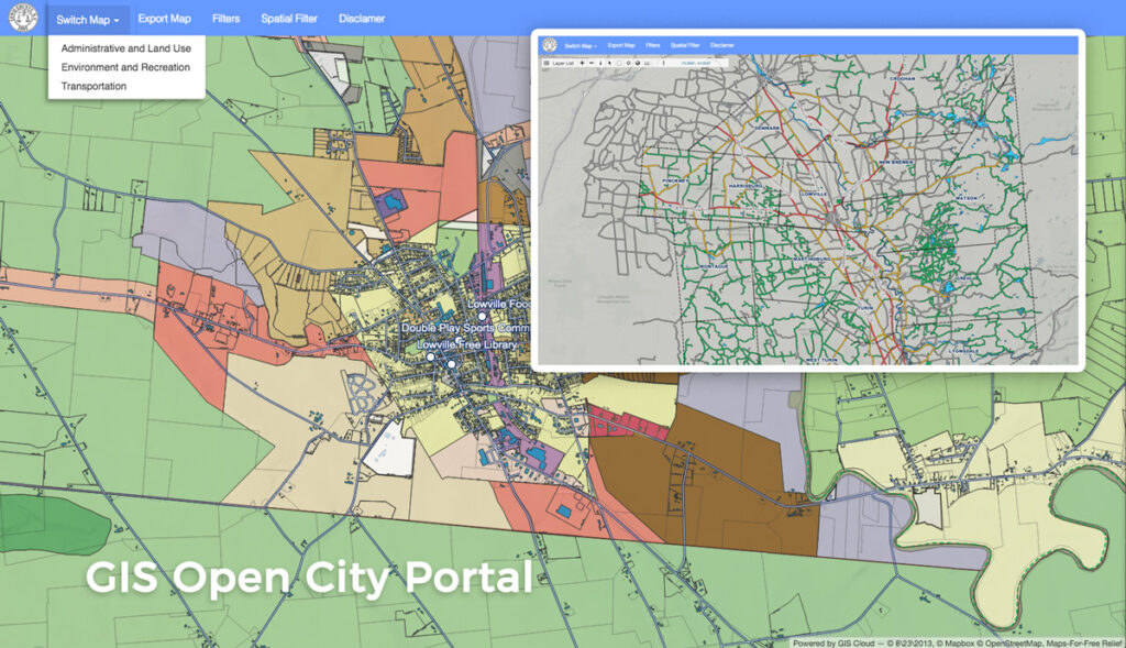
Many NGOs, local governments, smart cities and city agencies have enabled the public to access spatial and nonspatial information through GIS. With the right technology and initiative, sharing information on assets and resources with City Map Portals can improve city management, enable collaboration across city departments, engage citizens and build their trust in city governance, aid in the implementation of different initiatives, and enable data-driven and real-time decision making.
Find out how easy it is to create a city portal with GIS Cloud solutions, in this example of Lewis County, New York’s Map Portal.
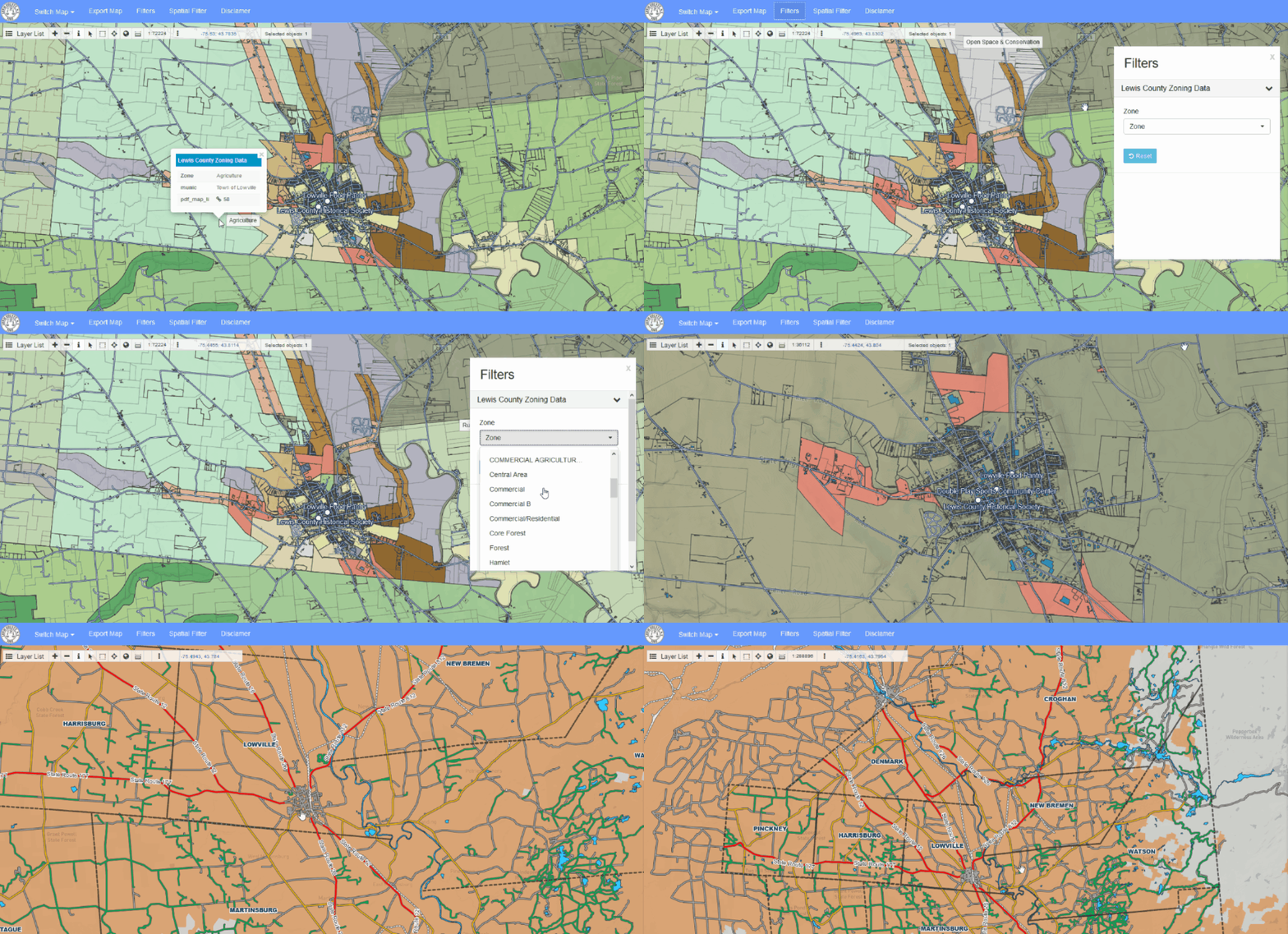
Lewis County is a small community located in the State of New York. They wanted to enable the public and businesses easy access to the public data via an online map. Lewis County map portal includes different and multiple layers like zoning, wetlands, and mobile railways.

How to Create a Map Portal with GIS Cloud
1. Collect, organize and secure the data
With the Map Editor web application, local governments and citizens can create an authoritative, digital database with various location-based datasets. Whether you already have existing data or you need to import or create new datasets, web GIS solutions such as the Map Editor offers a wide range of editing and analysis tools that help maintain the quality of the data. Storing the spatial data in the cloud changes the administrative and security procedure as it makes it easier to control data backup and to guarantee data safety. Read more about data protection in the cloud in this article.
2. Customize the map portal interface
Every local government or city agency interested in creating and sharing a GIS portal to the public needs a customized and branded portal interface. Usually, it’s a job for developers, but with the App Builder application, you can customize your web portal without writing a single line of code. Customize the domain, the theme, the logo, create filters, customize the buttons and panels and choose only the editing and analysis tools that you want.
3. Deliver the data to the public.
The fastest and easiest way to share information on public facilities and infrastructure between local governments, city departments and the public is with the Map Portal application. The main advantage is that you can control the visibility of specific datasets, set different export permissions and work in a real-time mapping engine with all the updates visible immediately.
Find out more about creating a Map Portal in this webinar recording.
Interested in smart city technologies? Contact us or sign up here.


