GIS, much like telecommunication, has come a long way.
Telecommunications have developed from smoke signals to fiber optic lines and long-range wireless data connections.
GIS has gone from hand-drawn maps to as-built plans to 3D models that are accurate to the hundredths of an inch.
Bringing telecommunication networks into a GIS will take the industry to the next level.
Migrating to GIS Cloud
We love old maps. They have so much character, and you can truly appreciate the hard work that went into creating the fine details. They have their limitations nowadays and should be respectfully hung on a wall for all to admire.
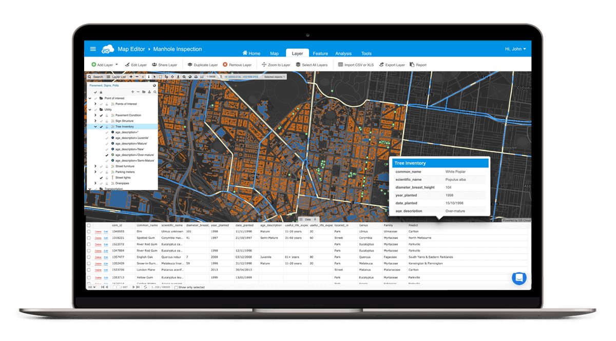
GIS Cloud’s Map Editor can bring all that important information from your pile of old maps into a functioning asset and records-keeping system.
The assets can be migrated into a spatial environment and preserve the important attributes that provide depth to the data. A complete migration from static paper maps into a cloud-based GIS solution will improve your operations and impress your clients.
Creating New Assets
In a GIS system, infrastructure and utilities, like roads, telecommunication, and water distribution systems, can be actively mapped throughout the construction process.
In Map Editor, you can create proposed new assets in your system in minutes.
Clients often map proposed projects and can analyze the required capital and potential return on their investment. They can identify gaps in their legal rights and agreement with the existing system.
In a GIS system, these features can be removed with simple edits to the feature’s attributes. Changing the symbology based upon an attribute is an easy way to display the same data but show the “Proposed” versus the “Active” assets. Classifying them as “Proposed” or “Planning” while the existing features can be deemed “Active”.

All of this data can be mapped throughout the life of the asset. Starting in the planning stages, through construction, up to and beyond the as-built approval phase
After the as-built phase, the final assets can be confirmed using GIS Cloud’s Mobile Data Collection app and a Bluetooth connected external GPS unit to ensure the feature is mapped with high accuracy.
With this confidence, you will never second guess where to dig to reach that feature.
Hardware Maintenance
Tracking annual maintenance needs to be efficient and be an accurate record log. Routine maintenance ensures the quality of your service remains high and extends the life of the telecommunication hardware.
A poorly maintained asset will fail with time and has the potential to cripple an efficient system.
A mobile application like MDC can assist teams in tracking and recording the maintenance inspection, and the work completed or scheduled for the future. The application can store notes directly from the operators.
Attaching photos can record the current condition of the asset.
A maintenance log in a GIS Cloud environment will improve your routine maintenance schedule for efficiency and thoroughness.
Location! Location! Location!
We have all heard it when it comes to real estate and buying a home. In telecommunications and internet service providers (ISP), location is important when building their coverage network.
Address locations can be mapped with a few clicks using our Geocoder. A geocoder takes a table of addresses and maps the data.
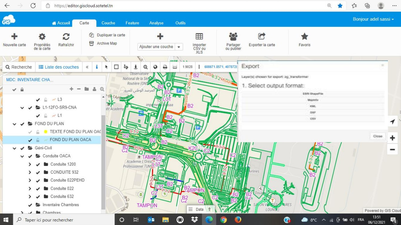
Once mapped, the locations can be exported to various data types, including shapefiles, CSV’s, KML’s, MapInfo, dxf’s, and others.

A potential ISP client can search for their own address on a telecommunication company’s personalized GIS Cloud Map Portal. A quick search will tell them if there is a telecommunication provider they have access to.
A location on a flat map has limitations.
Looking at the surrounding terrain is important when planning the future site of a cell tower. In GIS Cloud’s Map Viewer, analyzing locations in 3D is an option. This analysis can include the uninterrupted range of a tower.

Adding other layers to the map, we can analyze the potential impact the surrounding buildings may have on a tower’s range.
Simulating Scenarios
Disasters can occur with little to no warning and impact millions of people.
The idea of being unable to communicate with family, friends, or first responders is a nightmare when life takes an unexpected turn.
By simulating these types of scenarios, you can be better prepared to respond. Using a public GIS Cloud portal, you can communicate the necessary information about your network’s current status to the public.
In a GIS environment, you can mimic the impact of a single closure or the potential a downed line has on the network. These simulated scenarios can show you and your team where improvements must be prioritized.
These mock network failures can answer questions like:
“How many clients would be impacted?”
“What would our realistic response time be?”
“Do we have any redundancies in place as backup?”
“Where should we prioritize our capital to mitigate potential outages in the future?”
Understanding the vulnerabilities of a network will help you react the right way should it experience a failure.
Conclusion
Telecommunications rely on spatial information to serve their customers and be a reliable operation.
GIS Cloud’s many tools and applications can be a powerful supporter of a telecommunication service provider.
Our solution consultants can provide you and your team with guidance no matter at what stage in adopting GIS you are at. Our solutions include custom reports, company branded mobile applications, and public portals.
Sign up for a free 14 day trial, and one of our brilliant solutions consultants will reach out and see how they can assist you in upgrading your GIS system.


