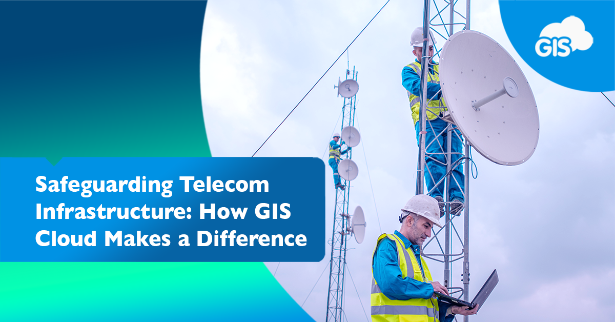
Data centers, fiber optic lines, and towers make up the telecommunication networks that connect people from around the globe. These physical assets are the critical assets that enable us to live our digital lives.
So, how can GIS safeguard these assets during disasters?
We will explore the roles each plays and how a GIS Cloud solution can ensure continuous connectivity during even the worst of times. GIS can support effective disaster response and minimal service disruption during uncertain times.
The Infrastructure Assets of a Telecommunication Network
A telecommunication network relies on many physical assets to provide its services. Due to their spatial nature and unique information, they fit well into a GIS system.
If you manage a telecommunication network, digitizing your assets will improve your management of the assets and enhance your customers’ experience.
GIS Cloud can help bring these physical critical assets into a smart GIS online solution for your organization.
A cloud based GIS solution removes the threat of onsite crashes or critical infrastructure failing due to weather or unforeseen events. Your critical assets and their information will be stored in a safe location, allowing you to leverage GIS.
Data Centers
Data centers are known to store terabytes upon terabytes of data. This data is crucial and serves many customers.
During disasters, news sources, medical agencies, and residents all rely upon this data and services they may host. It’s quite possible the GIS data used to locate critical assets during disasters are stored in these data centers.
In your GIS system, these sites are hubs of crucial data and need to be protected. Along with physically protecting these assets with sandbags and vegetation buffers, their data needs to be secure or moved elsewhere to safety.
Your GIS system can guide you to what is the practical solution. Using a heatmap analysis, your team can see what regions have the greatest concentration of data centers and need the most attention.
Backup Power Systems
Without backup ups, we would always be relying on Plan A. We know with poor planning, Plan A becomes Plan B, then Plan C, and so on. We can avoid these by being proactive.
These backup power systems are critical assets and need to be reliable during emergencies. Being out of sight may cause these to be out of mind, thus failing when we need them the most.
That’s where your GIS solution can help. With a digitized network, you can schedule maintenance of these backup systems, which ensures they are always reliable.
You can track the frequency of maintenance performed and the age of these items. In the Mobile Data Collection application, you’ll be able to collect the maintenance log and service history of each feature.
During the next disaster, you’ll be able to confidently power up your backup systems.
Fiber Optical Lines
The lines of the network are the most important and most likely to experience a failure due to a disaster. Wildlife or fierce winds can damage lines or the towers they travel across.
As new construction installs new lines, their location and attributes can be collected in the field. You can use a GNSS receive to get the high accuracy locations you may need.
Understanding the location of your lines will help you prioritize improvements for your network.
- Are your lines underground? Above ground?
- Do they need an easement to cross this piece of property?
- Are they the correct size to meet the demands of customers?
With a digitized GIS, you will have the answers to these requests from management in seconds. Or the person interested in this information can find it on your organization’s custom map portal.
Telecommunication Towers
Towers in your network route data between locations. They are the critical asset customers connect to, in order to receive information.
These towers service nearby areas and maybe the final endpoint in your network. It is important to know all the information possible about these assets.
Your GIS can contain all this information. New information can be added to the layers in the Map Editor. Photos from the site can be included to give a better understanding of the tower and its surroundings.
It’s another asset that should be getting routine maintenance. The equipment on the tower should be serviced and tracked. The area surrounding the tower is just as important.
During the maintenance season, using a buffer analysis your team can visualize how much vegetation needs to be cleared to create a safe empty space surrounding the tower site.
Conclusion
Your telecommunication network’s critical assets need to be protected for when they are needed most.
A GIS system may not prevent rain or wildfire damage, but it can create a system of data that allows your team to make the best decisions when faced with emergencies. The answers and data will be at your fingertips.
If you want guidance on how to best use GIS to serve you and your critical assets, sign up for our free 14 day solutions trial. One of our brilliant solutions consultants will reach out to you and will be happy to guide your next steps.
Don’t wait for the next disaster to expose your network’s vulnerabilities. You can prevent issues by creating an intelligent GIS based asset manager.


