Managers and decision-makers always have collaboration challenges on projects within numerous company departments. Presenting and exchanging the data collection and information between operatives is crucial for achieving business goals!
Since the beginning, we’ve introduced a single GIS platform for data collection, management, and access that helped thousands of users exploit the advantages of online GIS!
Resolving crucial workflow issues and collaboration within departments online in real time is just one of the immediate and measurable results.
In our Learning Center, there is a Sharing and Collaborating section where you will find quick tutorials on how to enable an entire organization to collaborate by using the same GIS Cloud apps on different levels of access depending on the company structure and business needs!
GIS Cloud Manager web app helps you with license acquiring, license assigning, and user administration. By defining different license permissions for users within your organization you have full control of privacy authoring.
Users within different departments in different cities or countries can collaborate on the same project or map in real time!
There are different levels of user permissions you can give as a manager in any map or project. Permissions are pretty straightforward and you can differentiate between two groups:
For data access and data management
- Can view – will provide the person only viewing privileges
- Can edit – will provide the person with complete editing privileges
- Can export – will allow the person to export the map you have shared with him
For data collection
- Can collect – will allow the person in the field to send new data, without the possibility to make changes to existing data or the data he has already sent
- Can update – will allow the person in the field to make attribute and geometry changes, without the possibility to send new data
Once you have created your map in the Map Editor application or project in Mobile Data Collection Portal you can start sharing it with other GIS Cloud users.
The process is straightforward and easy to follow. The aforementioned permission options decide who will be able to view, share, edit, export collect or update the data.
Your general options are:
- Map Editor sharing – Share maps to users with different permissions
- Mobile Data Collection Portal sharing – Share project to users with different permissions
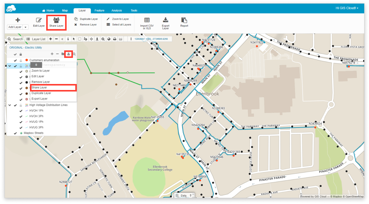
- Layer sharing – share layers and define permissions for each layer
- Data source sharing – share data sources to allow using data in various maps (shared and owned)

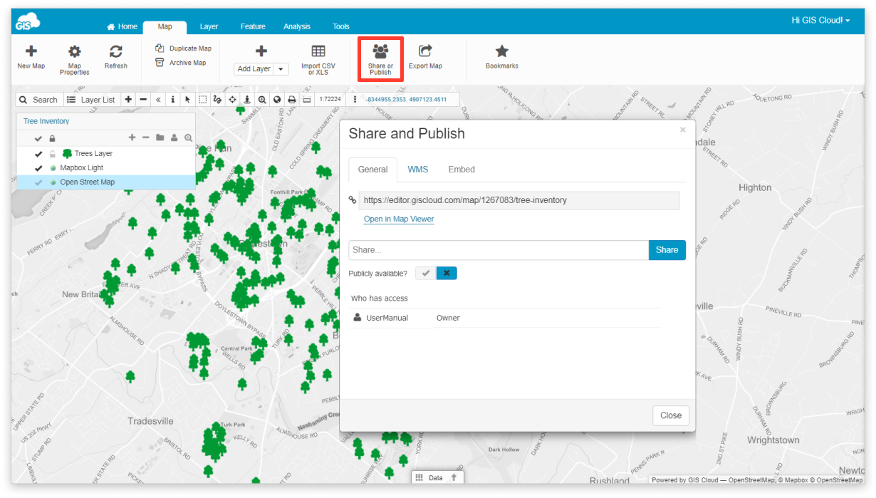
There is also a Share and Publish option where you can publish your map publicly or privately depending on the business requirements and share it with users inside or outside your organization through Permalink, WMS, WFS, etc.
With GIS Cloud Publisher for QGIS you can easily transfer maps from QGIS to GIS Cloud in a, preserving your symbology and update all changes to your QGIS maps. This is a quick and affordable way to share ‘heavy’ maps and datasets with clients or make the data public
It’s time to start optimizing your collaboration tools and connect users who are inside and outside your organization with just a couple of clicks! No need for heavy coding and hardware investments.
Share maps and projects to everyone in a matter of minutes and get their input faster than ever before!
If you are interested more in how to share your maps and projects to lead and organize your business and reduce everyday workload please contact our Sales Consultants and check GIS Cloud Services Page!


