In an era where quick and smart decisions are key, governments at all levels – local, state, and federal – are embracing Geographic Information Systems (GIS) in the cloud. This move is not just about keeping up with technology; it’s about reshaping how government departments work together, make decisions, engage with communities, and plan for today and tomorrow.
Simplifying Collaboration with GIS
Imagine a local government, a complex entity with various departments like Public Works, Land Administration, Planning and Development, and Emergency Management. Each has a unique role, yet all aim for efficient service delivery. Cloud-based GIS is the tool that brings these diverse functions together. It enables easy data uploading, project sharing, and collaboration, both internally and externally. This unified approach to managing geospatial needs leads to effective and accurate results.
Cost Efficiency: A Smart Financial Move
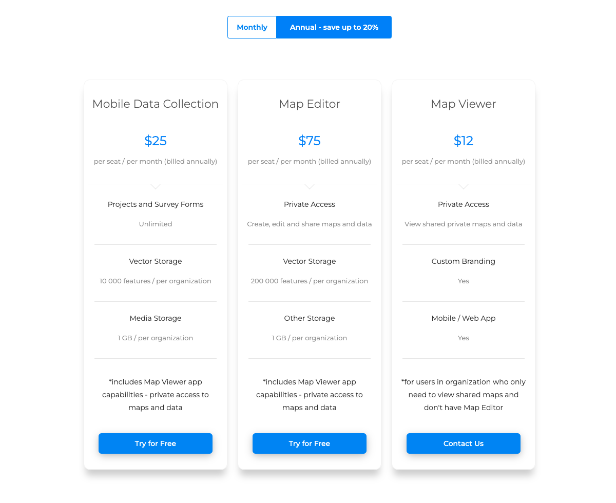
One of the most significant advantages of cloud-based GIS is cost efficiency. By using GIS Cloud solutions, local governments can avoid large upfront investments in hardware and software. Instead, they can scale their usage based on current demand, paying only for what they use. This flexibility is a great advantage for budget management, reducing the financial burden on local taxpayers and allowing for a more efficient allocation of resources.

GIS Cloud: Customizing Your Workflow
GIS Cloud offers a way to customize your workflow, freeing you from the limitations of traditional office setups. It allows real-time collaboration across various locations using devices like smartphones and tablets. This flexibility is vital for government agencies that need to respond swiftly to new situations.
Enhancing Collaboration
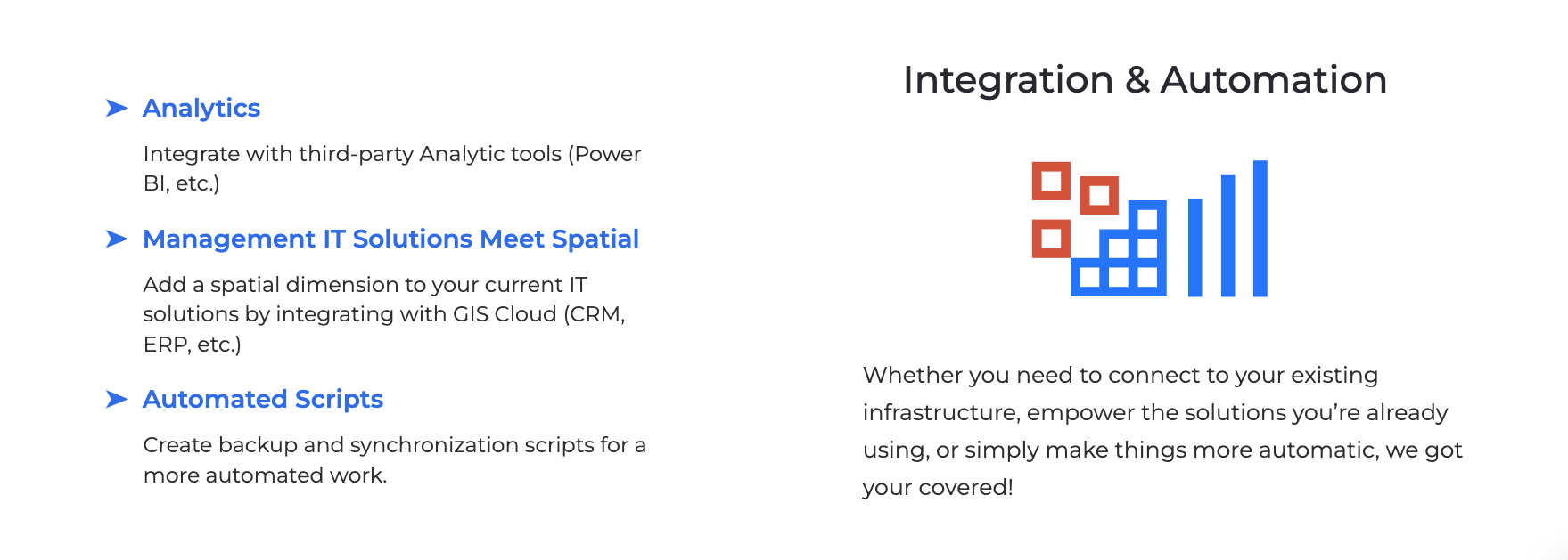
The strength of GIS Cloud solutions lies in their collaborative nature. It is designed not to replace but to enhance your existing systems. Departments can collaborate in a cloud environment, sharing and analyzing new and existing projects. This approach elevates GIS, fostering a more interconnected and efficient government.
Practical Applications Across Departments
- Land Administration: Manage land data interactively and engage communities in exploring parcel data from a web environment accessible on multiple devices using Map Viewer.
- Public Works: Gain accurate data on parks, traffic, and road infrastructure, and maintain assets collaboratively in real time, regardless of location or device, using Mobile Data Collection.
- Planning and Development: Gain accurate data on parks, traffic, and road infrastructure, and maintain assets collaboratively in real time, regardless of location or device with Map Editor.
- Fire Risk and Management: Synchronize office and field operations for fire departments, enhancing firefighter safety and implementing comprehensive fire control strategies.
- Watershed and Water Management: Improve water utility infrastructure and optimize field operations for sustainable water management that benefits residents and the environment.
- Emergency Management and Response: Coordinate resources effectively by sharing response plans, mapping emergency hotspots, and creating public maps for community awareness, using tools like Map Portal for public awareness.
Integrating GIS Cloud into Your Organization
Adopting cloud in your GIS workflow means enhancing your organization’s collaborative capabilities, making processes faster, easier, and more precise. GIS Cloud seamlessly integrates with existing systems, complementing and extending their functionality rather than replacing them.

Why GIS Cloud Matters
For government professionals, GIS users, and decision-makers, understanding the benefits of GIS in the cloud is crucial. It’s about enhancing how we serve our communities, making informed decisions, and planning sustainably.
Have questions or thoughts? We’re here to help. Our team of Solution Consultants is ready to assist you at every step. Reach out via email, and stay tuned for more insights on how various industries are benefiting from GIS Cloud.
In the meantime sign up for our 14-day free trial and begin your experience with GIS Cloud.


