GIS Cloud’s offline maps feature has proven to be a helpful tool not only in remote areas with poor signal but in cases where using mobile data to connect your app can make a substantial bill for the company. GIS Cloud’s platform provides a single-click solution for companies looking to improve their productivity. Our pricing is transparent and budget friendly, shielding our customers from spending excess money.
Sometimes, mapping out a project requires data collection from remote locations where network signals are virtually nonexistent. Aside from carrying essential equipment, every field worker must be equipped with an offline data collection and mapping application. If synchronized, the apps can accumulate their data in one place and instantly improve the workflow and collaboration between different sectors in a company.

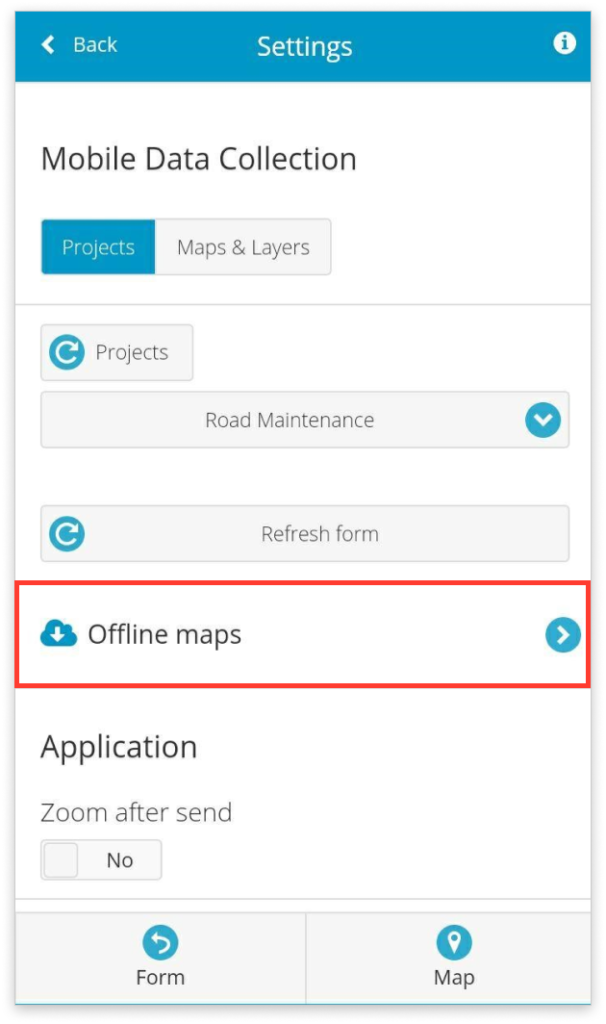
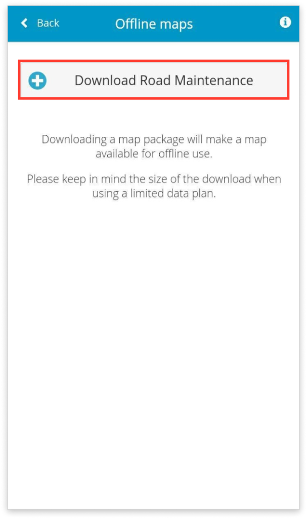
On top of this, our apps are easy to use and work even faster offline than working online! Setting up a project for offline data collection is very simple. Firstly, while the device you’ll be using is online, download the maps you’ll be working on, including the layers and basemap that go with them.
During data collection in the remote field areas, all the data collected with offline maps will be stacked in a queue waiting to be uploaded onto your account.

After returning from the field and connecting your device online, the data from our Mobile Data Collection app will be automatically synchronized, and all the map updates will be sent. The newly added data can be accessed instantly by the entire team in either Map Viewer or Map Editor applications.
For more detailed instructions about collecting data offline, you can visit our guide or Contact our Consultants. They will help you set up the perfect workflow for your needs.
If you haven’t already done this, you can download the new version of the Mobile Data Collection app as well as the new version of the Map Viewer app for Android and iOS devices.
Give us some information about your work and get a personalized demo.
Oops! Something went wrong while submitting the form.

Offline Mapping and Data Collection
2 min read
Products
How it Works
Mobile Data Collection
Map Editor
Map Viewer
Map Portal
Crowdsourcing
Publisher for QGIS
Publisher for ArcMap
Geocoder
Terms of use & Privacy policy © GIS Cloud Ltd


