
In GIS Cloud Map Editor, you can often stumble upon interesting public maps created by our users who utilize GIS Cloud apps for a wide variety of purposes. So, we made a selection of a few cool maps that caught our eye. There will be more interesting maps to come – don’t hesitate to drop us an e-mail if you have a cool map to share with our community.
1. Map of Utilities in Honolulu
This sample map of utilities in Honolulu shows the locations of Utilities, Sewer Fittings, Main Sewers and Lateral Sewers. It is an excellent example of using the line feature in the Map Editor app and rendering a large amount of data in a map. When you click on a line, you can get additional information that can also be updated directly from the field using the Mobile Data Collection app.
2. Map of Brazil
This awesome Map of Brazil shows a large amount of data on urbanization, points of interest (parks, zoos, bars & restaurants, bookshops, nursing homes, police stations, post offices…), population in different areas, female/male ratio and various buildings.
There’s also a land use layer with different categories; commercial, forest, industrial, military, nature reserves, roads, and railways; natural inventory (beaches, trees, volcanoes); vegetation layers as well as waterways. Even though this beautiful map contains many features, you can see that the data renders quickly.
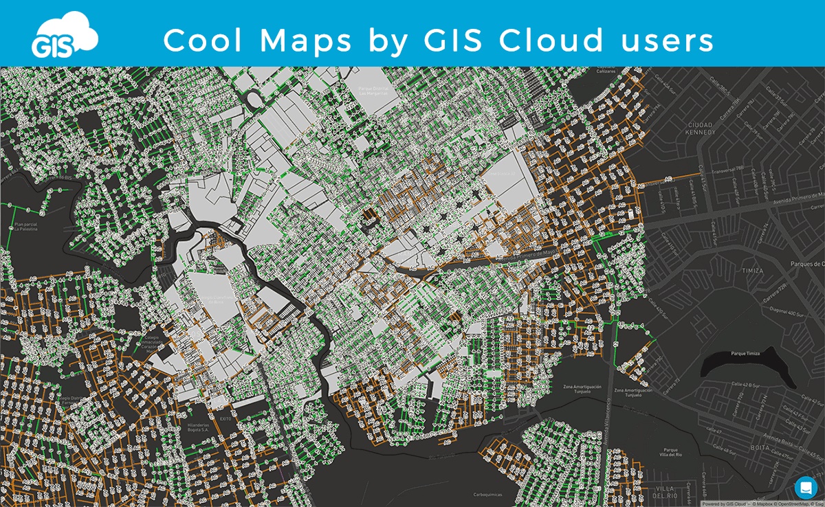
3. Map of London City Infrastructure
Map of London in GIS Cloud contains various datasets, from points of interest (automotive, eating & drinking, healthcare, leisure, nightlife, shopping, sports, tourism) to Nature (Forest, Park, Water), roads and allotment gardens (community gardens). Here you can see how to combine GIS Cloud symbology with cool dark basemap.